



Mt. Banzaburo
Mount Amagi is a range of volcanic mountains in central Izu Peninsula in Shizuoka Prefecture, Japan, forming the border between Izu City… 자세히 읽기…


Mt. Banzaburo – 여행을 계획 중이신가요?
Tripomatic 앱에서 일자별 일정을 만들어 보세요.


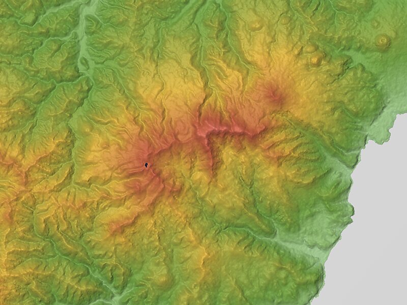
Mount Amagi is a range of volcanic mountains in central Izu Peninsula in Shizuoka Prefecture, Japan, forming the border between Izu City and Higashi-Izu Town. It is also referred to as the Amagi Mountain Range.
The Amagi mountains have several peaks, the tallest of which are Bansaburōdake at 1,406 metres, Banjirōdake at 1,300 metres, and Tōgasayama at 1,197 metres.There are several hiking routes to the top. Flora in the area include rhododendrons, Japanese andromeda, stewartia monadelpha and Siebold's beech.
Many ships of the Imperial Japanese Navy were named after it, including a corvette, a battlecruiser and an aircraft carrier.
Source: Wikipedia


Mt. Banzaburo – 여행에 추가
스마트 경로 안내, 소요 시간 예측 등 완벽한 여행에 필요한 모든 기능을 통해 상세한 여행 일정을 만들어 보세요.

