
Astoria–Megler Bridge
The Astoria–Megler Bridge is a steel cantilever through truss bridge in the Pacific Northwest region of the United States that spans the… 자세히 보기…



Astoria–Megler Bridge – 여행에 추가
스마트 경로 안내, 소요 시간 예측 등 완벽한 여행에 필요한 모든 것을 포함한 상세한 여행 일정을 만드세요.




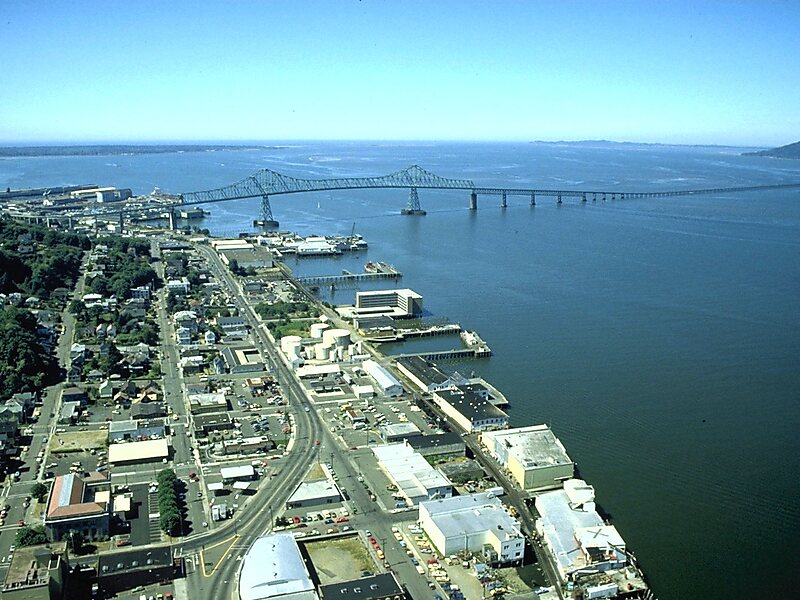
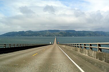
The Astoria–Megler Bridge is a steel cantilever through truss bridge in the Pacific Northwest region of the United States that spans the lower Columbia River. It carries a section of U.S. Route 101 from Astoria, Oregon, to Point Ellice near Megler, Washington. Opened in 1966, it is the longest continuous truss bridge in North America.
The bridge is 14 miles from the mouth of the river at the Pacific Ocean. The bridge is four miles in length, and was the final segment of U.S. Route 101 to be completed between Olympia, Washington, and Los Angeles, California.
Source: Wikipedia
자세한 정보 및 문의
Astoria–Megler Bridge – 여행에 추가
스마트 경로 안내, 소요 시간 예측 등 완벽한 여행에 필요한 모든 것을 포함한 상세한 여행 일정을 만드세요.