



Ukkusiksalik National Park
Ukkusiksalik National Park () is a national park in Nunavut, Canada. It covers 20,885 km2 of tundra and coastal mudflats south of the Arctic… 자세히 읽기…
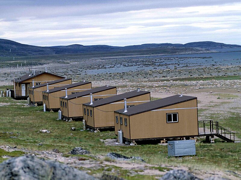


Ukkusiksalik National Park – 여행에 추가
스마트 경로 안내, 소요 시간 예측 등 완벽한 여행에 필요한 모든 기능을 통해 상세한 여행 일정을 만들어 보세요.




Ukkusiksalik National Park () is a national park in Nunavut, Canada. It covers 20,885 km2 of tundra and coastal mudflats south of the Arctic Circle and the hamlet of Naujaat, from Hudson Bay's Roes Welcome Sound towards the western Barrenlands and the source of Brown River. The park surrounds Wager Bay, a 100 km-long inlet on the Hudson Bay. Although the smallest of Nunavut's four national parks, it is the sixth largest in Canada. Its name relates to steatite found there: Ukkusiksalik means "where there is material for the stone pot".
In addition to a reversing waterfall and over 500 archeological sites, including an old Hudson's Bay Company trading post, the region is home to such species as polar bears, grizzly bears, Arctic wolf, barren-ground caribou, seals and peregrine falcons. Vegetation in the park is typical low tundra, with dwarf birch, willow and mountain avens. Scattered patches of boreal forest can be encountered in river valleys.
Source: Wikipedia
추가 정보 및 연락처
Ukkusiksalik National Park – 여행에 추가
스마트 경로 안내, 소요 시간 예측 등 완벽한 여행에 필요한 모든 기능을 통해 상세한 여행 일정을 만들어 보세요.