



Studniční hora
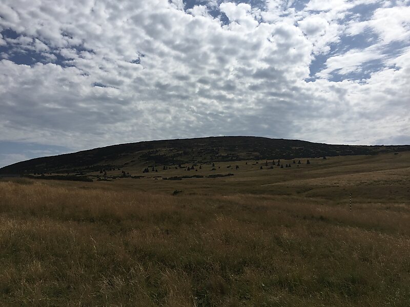
Third-highest peak in the country reaching an altitude of 1,555 meters, characterized by a flat rounded summit and steep slopes with glacial cirques. It is a highly protected habitat for endangered flora and fauna situated within the first zone of the national park. 자세히 읽기…
입장료
Access to the summit is prohibited; only surrounding trails are accessible


Studniční hora – 여행에 추가
스마트 경로 안내, 소요 시간 예측 등 완벽한 여행에 필요한 모든 기능을 통해 상세한 여행 일정을 만들어 보세요.




Standing at 1,555 meters, this mountain is the third-highest peak in the range. It features a distinctive flat, rounded summit and steep slopes that have formed glacial cirques and active avalanche paths.
The area is located within the first zone of the national park, marking it as a strictly protected habitat. It is known for its significant botanical diversity and serves as a sanctuary for endangered species of flora and fauna.
A notable landmark on the southern slope is a specific snowfield known as the 'Map of the Republic'. This feature is a characteristic element of the landscape, which also includes various glacial landforms.
추가 정보 및 연락처
Studniční hora – 여행에 추가
스마트 경로 안내, 소요 시간 예측 등 완벽한 여행에 필요한 모든 기능을 통해 상세한 여행 일정을 만들어 보세요.

