
Canaveral National Seashore
The Canaveral National Seashore is a National Seashore located between New Smyrna Beach and Titusville, Florida, in Volusia and Brevard… 자세히 보기…
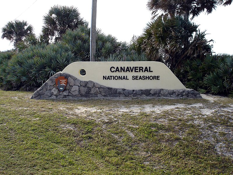


Canaveral National Seashore – 여행에 추가
스마트 경로 안내, 소요 시간 예측 등 완벽한 여행에 필요한 모든 것을 포함한 상세한 여행 일정을 만드세요.




The Canaveral National Seashore is a National Seashore located between New Smyrna Beach and Titusville, Florida, in Volusia and Brevard Counties. The park, located on a barrier island, was created on January 3, 1975, by an act of Congress. The park is split between Brevard and Volusia counties, with 9 miles of the seashore in Brevard County, and 15 miles of the seashore in Volusia County. CANA consists of 24 miles of beaches, dunes, mangrove wetlands, and a large portion of the Mosquito Lagoon. The Canaveral National Seashore is also the longest expanse of undeveloped land along the East Coast of Florida. The Canaveral National Seashore is home to more than 1,000 plant species and 310 bird species. CANA occupies 57,662 acres. There are 3 major beach sections in the seashore. The southern section is Playalinda Beach, the middle section is Klondike Beach, and the northern section is Apollo Beach.
Source: Wikipedia
자세한 정보 및 문의
Canaveral National Seashore – 여행에 추가
스마트 경로 안내, 소요 시간 예측 등 완벽한 여행에 필요한 모든 것을 포함한 상세한 여행 일정을 만드세요.

