
Chanonry Point
the Black Isle, 🇬🇧 영국
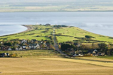
Chanonry Point lies at the end of Chanonry Ness, a spit of land extending into the Moray Firth between Fortrose and Rosemarkie on the Black… 자세히 보기…
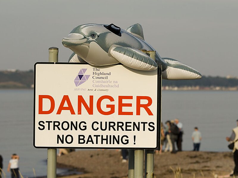
dolphinsview pointhidden gem

Shirehorse

Shirehorse
Shirehorse

sylvia duckworth

Oliver Dixon

sylvia duckworth

Peter Gwenlan

Shirehorse

Riverside Hotel

Chanonry Point
2h

Corner Café
45 min
Riverside Hotel
Chanonry Point – 여행에 추가
스마트 경로 안내, 소요 시간 예측 등 완벽한 여행에 필요한 모든 것을 포함한 상세한 여행 일정을 만드세요.


3M+ 다운로드 · 별점 4.6 · 15년간의 여행 일정 계획 경험


Chanonry Point lies at the end of Chanonry Ness, a spit of land extending into the Moray Firth between Fortrose and Rosemarkie on the Black Isle, Scotland.
Source: Wikipedia
자세한 정보 및 문의
Wikipedia en.wikipedia.org/wiki/Chanonry_Point
주소 IV10 8, United Kingdom
좌표 57°34'26.894" N, 4°5'30.453" W
투어 및 활동
Riverside Hotel
Chanonry Point
2h
Corner Café
45 min
Riverside Hotel
Chanonry Point – 여행에 추가
스마트 경로 안내, 소요 시간 예측 등 완벽한 여행에 필요한 모든 것을 포함한 상세한 여행 일정을 만드세요.
3M+ 다운로드 · 별점 4.6 · 15년간의 여행 일정 계획 경험

