
Fox Point Hurricane Barrier
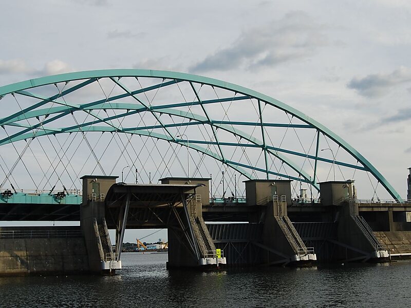
The Fox Point Hurricane Barrier is a 3,000-foot long tidal flood barrier spanning the Providence River in Providence, Rhode Island, located… 자세히 보기…


Fox Point Hurricane Barrier – 여행에 추가
스마트 경로 안내, 소요 시간 예측 등 완벽한 여행에 필요한 모든 것을 포함한 상세한 여행 일정을 만드세요.




The Fox Point Hurricane Barrier is a 3,000-foot long tidal flood barrier spanning the Providence River in Providence, Rhode Island, located 750 feet upstream from Fox Point. It was constructed between 1960 and 1966 to protect the low-lying downtown area of the city from damaging storm surge and floods associated with hurricanes and other major storm events.
The Fox Point Hurricane Barrier consists of five main parts: river gates, rock and earthen dikes along each shore, vehicular gates along each shore where roads pass through the dikes, canal gates at the west end of the barrier associated with the nearby electric power station, and a pumping station to control the flow of water.
Source: Wikipedia
자세한 정보 및 문의
Fox Point Hurricane Barrier – 여행에 추가
스마트 경로 안내, 소요 시간 예측 등 완벽한 여행에 필요한 모든 것을 포함한 상세한 여행 일정을 만드세요.