
Kahlheid
The Kahlheid near Morscheid-Riedenburg in the Idar Forest is a mountain, 766 m above sea level, on the boundary between the counties of … 자세히 보기…


Kahlheid – 여행에 추가
스마트 경로 안내, 소요 시간 예측 등 완벽한 여행에 필요한 모든 것을 포함한 상세한 여행 일정을 만드세요.




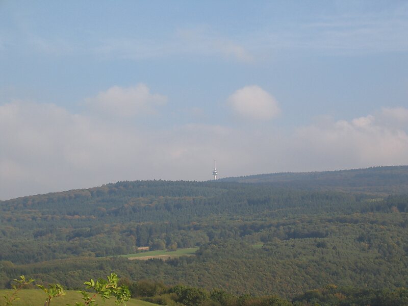
The Kahlheid near Morscheid-Riedenburg in the Idar Forest is a mountain, 766 m above sea level, on the boundary between the counties of Birkenfeld and Bernkastel-Wittlich in the German state of Rhineland-Palatinate.
The mountain is the third highest in Rhineland-Palatinate after the Erbeskopf, 2.6 km to the southwest and its southwestern subpeak, the Springenkopf, in the Schwarzwälder Hochwald, and the peak of An den zwei Steinen, 12 km to the northeast, also in the Idar Forest.
Source: Wikipedia
자세한 정보 및 문의
Kahlheid – 여행에 추가
스마트 경로 안내, 소요 시간 예측 등 완벽한 여행에 필요한 모든 것을 포함한 상세한 여행 일정을 만드세요.