
Kalopa State Recreation Area
The Kalōpā Native Forest State Park and Recreation Area is a state park with an arboretum of native trees located approximately 40 mi… 자세히 보기…


Kalopa State Recreation Area – 여행에 추가
스마트 경로 안내, 소요 시간 예측 등 완벽한 여행에 필요한 모든 것을 포함한 상세한 여행 일정을 만드세요.




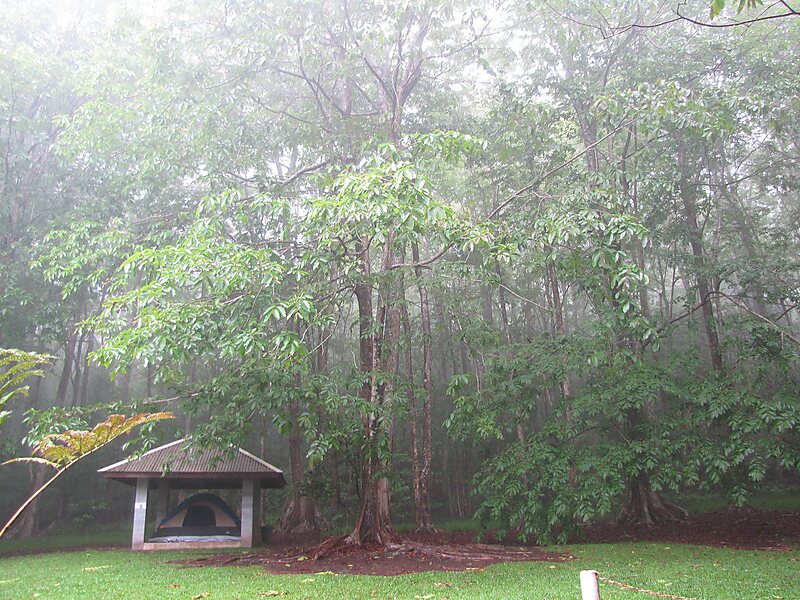
The Kalōpā Native Forest State Park and Recreation Area is a state park with an arboretum of native trees located approximately 40 mi northwest of Hilo, near the village of Honokaʻa, a few miles inland from the Mamalahoa Highway section of the Hawaii Belt Road, Island of Hawaiʻi, Hawaiʻi.
This 100-acre park adjoins an additional 500 acres in the Kalopa Forest Reserve. The park is at an elevation of 2,000 ft and includes a 0.7 mi loop through a forest of native ʻōhiʻa lehua trees. A number of rare plants can be found in the arboretum area, including endangered loulu palms, as well as a number of rare native hibiscus. Due to the altitude, damp and chilly weather is the norm.
Source: Wikipedia
자세한 정보 및 문의
Kalopa State Recreation Area – 여행에 추가
스마트 경로 안내, 소요 시간 예측 등 완벽한 여행에 필요한 모든 것을 포함한 상세한 여행 일정을 만드세요.