Queen Elizabeth II Bridge
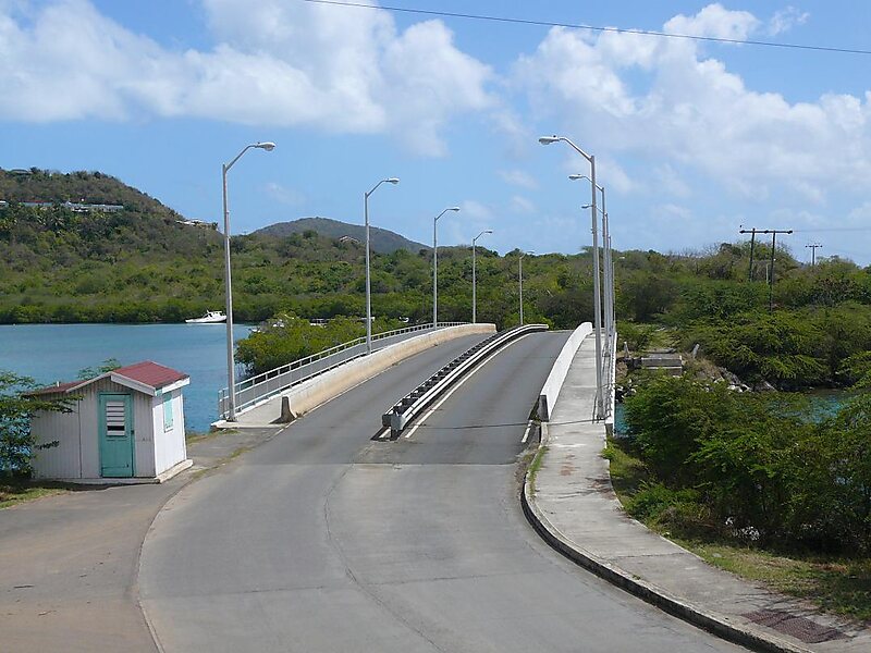
The Queen Elizabeth II Bridge, sometimes called the Beef Island Bridge, is a bridge, 70 meters long, that links Beef Island with Tortola in… Read more…
bridge
Legis / Public domain

Riverside Hotel

Queen Elizabeth II Bridge
2h

Corner Café
45 min
Riverside Hotel
Add Queen Elizabeth II Bridge to Your Trip
Create a detailed travel itinerary with smart routing, time estimates, and everything you need for a perfect trip.
3M+ downloads · 4.6 stars · 15 years of trip planning


The Queen Elizabeth II Bridge, sometimes called the Beef Island Bridge, is a bridge, 70 meters long, that links Beef Island with Tortola in the British Virgin Islands. The original bridge was opened in 1966, and was replaced by a new bridge in 2003.
Source: Wikipedia
More Information and Contact
Coordinates 18°26'40.03" N, 64°33'14.188" W
Riverside Hotel
Queen Elizabeth II Bridge
2h
Corner Café
45 min
Riverside Hotel
Add Queen Elizabeth II Bridge to Your Trip
Create a detailed travel itinerary with smart routing, time estimates, and everything you need for a perfect trip.
3M+ downloads · 4.6 stars · 15 years of trip planning