
Robert S Kerr Reservoir
Robert S. Kerr Reservoir is located within the Cookson Hills, on the Arkansas River in Sequoyah, Le Flore, Haskell, and Muskogee counties in… 자세히 보기…


Robert S Kerr Reservoir – 여행에 추가
스마트 경로 안내, 소요 시간 예측 등 완벽한 여행에 필요한 모든 것을 포함한 상세한 여행 일정을 만드세요.




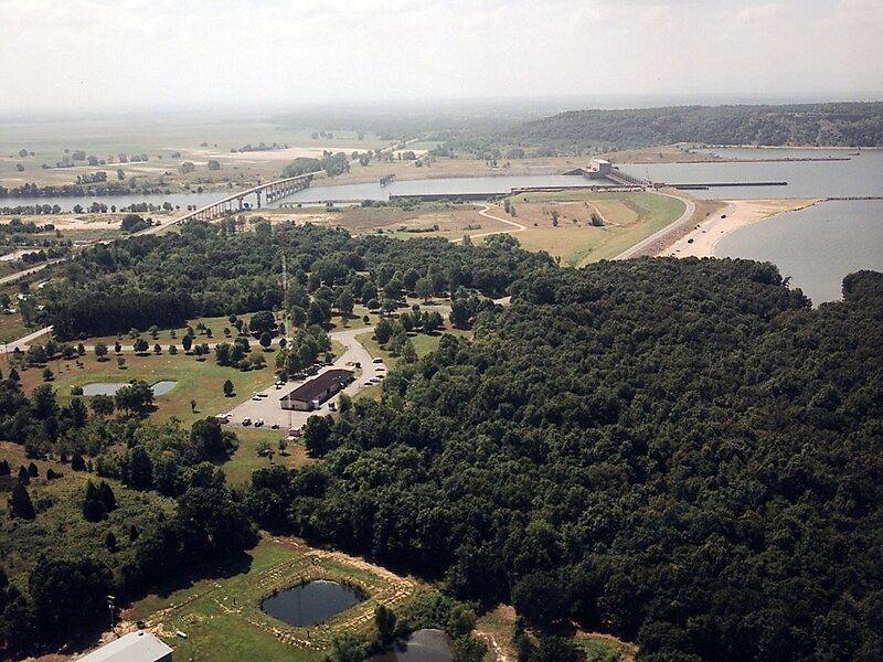
Robert S. Kerr Reservoir is located within the Cookson Hills, on the Arkansas River in Sequoyah, Le Flore, Haskell, and Muskogee counties in eastern Oklahoma, US. It is about eight miles south of the nearest major town, Sallisaw, Oklahoma. The reservoir is impounded by Robert S. Kerr Lock and Dam at river mile 336.2 on the Arkansas River, just a few miles below its confluence with the Canadian River. The lock and dam are part of the McClellan-Kerr Arkansas River Navigation System, which provides for barge navigation on the Arkansas River and some of its tributaries. The U.S. Army Corps of Engineers maintains the locks and navigation system.
The lock and dam were constructed by the Corps of Engineers. Prior to starting construction in 1963, the project was identified as Short Mountain Lock and Dam, but was renamed in honor of the late Oklahoma Senator, who had spent much of his political career pushing for the Arkansas River to be made navigable.
Source: Wikipedia
자세한 정보 및 문의
Robert S Kerr Reservoir – 여행에 추가
스마트 경로 안내, 소요 시간 예측 등 완벽한 여행에 필요한 모든 것을 포함한 상세한 여행 일정을 만드세요.