
Runyon Canyon
Runyon Canyon Park is a 160-acre park in Los Angeles, California, at the eastern end of the Santa Monica Mountains, managed by the Los… 자세히 보기…




Runyon Canyon – 여행에 추가
스마트 경로 안내, 소요 시간 예측 등 완벽한 여행에 필요한 모든 것을 포함한 상세한 여행 일정을 만드세요.




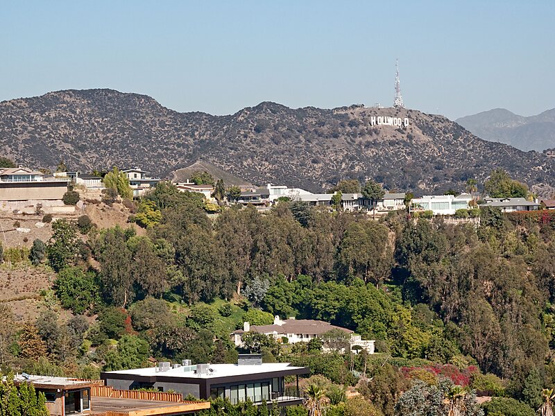
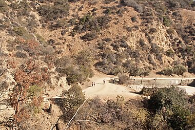
Runyon Canyon Park is a 160-acre park in Los Angeles, California, at the eastern end of the Santa Monica Mountains, managed by the Los Angeles Department of Recreation and Parks. The southern entrance to the park is located at the north end of Fuller Avenue in Hollywood. The northern entrance is off the 7300 block of Mulholland Drive. The Runyon Canyon Road, a fire road that is closed to public motor vehicle access, runs roughly through the center of the park between the northern and southern entrances along Runyon Canyon itself, and there are numerous smaller hiking trails throughout the park. The highest point in the park at an elevation of 1,320 ft is known as Indian Rock. Because of its proximity to residential areas of Hollywood and the Hollywood Hills, celebrity sightings are common. The park is also noted for having a fairly liberal dog policy, with dogs allowed off-leash in 90 of the park's 160 acres. The park is part of the Santa Monica Mountains National Recreation Area.
Source: Wikipedia
자세한 정보 및 문의
Runyon Canyon – 여행에 추가
스마트 경로 안내, 소요 시간 예측 등 완벽한 여행에 필요한 모든 것을 포함한 상세한 여행 일정을 만드세요.

