Slea Head
County Kerry, 🇮🇪 Ireland
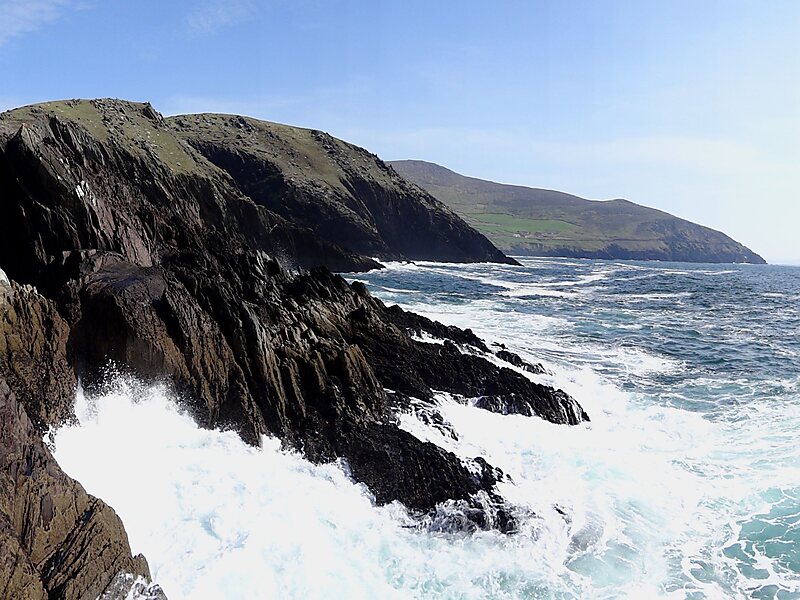
Slea Head is a promontory on the westernmost part of the Dingle Peninsula, in southwest County Kerry, Ireland.
view pointcape

Riverside Hotel

Slea Head
2h

Corner Café
45 min
Riverside Hotel
Add Slea Head to Your Trip
Create a detailed travel itinerary with smart routing, time estimates, and everything you need for a perfect trip.
3M+ downloads · 4.6 stars · 15 years of trip planning


More Information and Contact
Wikipedia en.wikipedia.org/wiki/Slea_Head
Address R559, V92 YK18, Ireland
Coordinates 52°5'53.124" N, 10°27'19.094" W
Tours & Activities
Riverside Hotel
Slea Head
2h
Corner Café
45 min
Riverside Hotel
Add Slea Head to Your Trip
Create a detailed travel itinerary with smart routing, time estimates, and everything you need for a perfect trip.
3M+ downloads · 4.6 stars · 15 years of trip planning