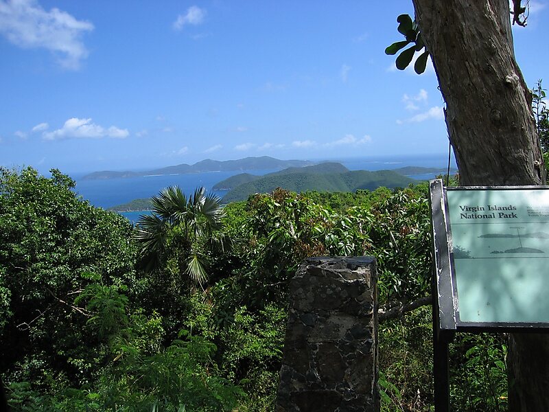
The Virgin Islands National Park is an American national park preserving about 60% of the land area of Saint John in the United States Virgin Islands, as well as more than 5,500 acres of adjacent ocean, and nearly all of Hassel Island, just off the Charlotte Amalie, Saint Thomas harbor.
The park is well known for scuba diving and snorkeling, and has miles of hiking trails through the tropical rainforest.
Cruz Bay is the gateway port to the park, as well as the visitor center location. Ferries operate hourly from Red Hook, St. Thomas, thrice daily from Charlotte Amalie, St.

Wikipedia https://en.wikipedia.org/wiki/Virgin_Islands_National_Park
Address The Gerda Marsh Dr, 00830, United States
Coordinates 18°20'41.362" N -64°44'45.156" E