
Waitemata Harbour
Waitematā Harbour is the main access by sea to Auckland, New Zealand. For this reason it is often referred to as Auckland Harbour, despite… 자세히 보기…


Waitemata Harbour – 여행에 추가
스마트 경로 안내, 소요 시간 예측 등 완벽한 여행에 필요한 모든 것을 포함한 상세한 여행 일정을 만드세요.




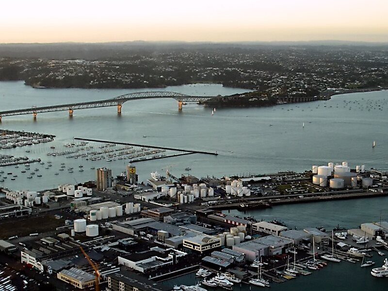
Waitematā Harbour is the main access by sea to Auckland, New Zealand. For this reason it is often referred to as Auckland Harbour, despite the fact that it is one of two harbours adjoining the city. The harbour forms the northern and eastern coasts of the Auckland isthmus and is crossed by the Auckland Harbour Bridge. It is matched on the southern side of the city by the shallower waters of the Manukau Harbour.
With an area of 70 square miles, it connects the city's main port and the Auckland waterfront to the Hauraki Gulf and the Pacific Ocean. It is sheltered from Pacific storms by Auckland's North Shore, Rangitoto Island, and Waiheke Island.
Source: Wikipedia
자세한 정보 및 문의
Waitemata Harbour – 여행에 추가
스마트 경로 안내, 소요 시간 예측 등 완벽한 여행에 필요한 모든 것을 포함한 상세한 여행 일정을 만드세요.