
Eschkopf
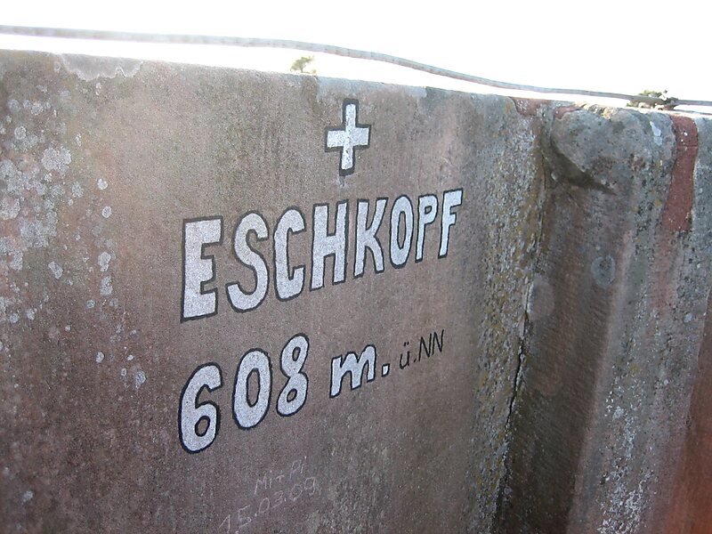
The Eschkopf near Hofstätten in the German state of Rhineland-Palatinate is a major hill, 608.3 m above sea level high in the Palatine… Lees meer…


Eschkopf – Aan je reis toevoegen
Maak een gedetailleerde reisroute met slimme routing, tijdsinschattingen en alles wat je nodig hebt voor een perfecte reis.




The Eschkopf near Hofstätten in the German state of Rhineland-Palatinate is a major hill, 608.3 m above sea level high in the Palatine Forest.
The Eschkopf is part of the Frankenweide, a rock massif in the centre of the Palatine Forest. The main Palatine Watershed runs over its summit, which rises about 3.4 km south of the village of Hofstätten and 3.6 km south-southeast of the hamlet of Johanniskreuz in the neighbouring county of Kaiserslautern. The hill is the northernmost of a line of four peaks that exceed 600 m. To the south, in sequence, are the Mosisberg, the Hortenkopf and the Weißenberg. From the Eschkopf it is possible to walk to Leimen, Kaiserslautern-Mölschbach, Elmstein and via the forester's lodges of Taubensuhl and Heldenstein almost as far as Neustadt an der Weinstraße on continuous hill ridges without dropping below the 450 metre contour line.
Source: Wikipedia
Meer informatie en contact
Eschkopf – Aan je reis toevoegen
Maak een gedetailleerde reisroute met slimme routing, tijdsinschattingen en alles wat je nodig hebt voor een perfecte reis.