
Annapolis Basin
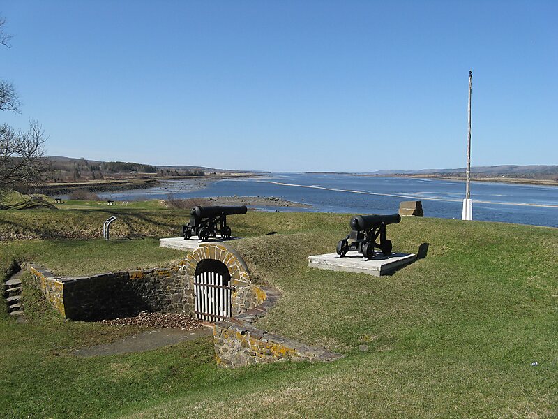
The Annapolis Basin is a sub-basin of the Bay of Fundy, located on the bay's southeastern shores, along the northwestern shore of Nova… Lees meer…


Annapolis Basin – Aan je reis toevoegen
Maak een gedetailleerde reisroute met slimme routing, tijdsinschattingen en alles wat je nodig hebt voor een perfecte reis.




The Annapolis Basin is a sub-basin of the Bay of Fundy, located on the bay's southeastern shores, along the northwestern shore of Nova Scotia and at the western end of the Annapolis Valley.
The basin takes its name from the Annapolis River, which drains into its eastern end at the town of Annapolis Royal. The basin measures approximately 24 kilometres northeast-southwest and 6 kilometres at its widest from northwest to southeast.
It is a sheltered and mostly shallow water body, framed by the ridges of the North Mountain and South Mountain ranges of the Annapolis Valley; the basin is geologically a continuation of the valley floor. A break in the North Mountain range at the northwestern edge of the basin, called Digby Gut, provides an outlet to the Bay of Fundy.
Source: Wikipedia
Meer informatie en contact
Annapolis Basin – Aan je reis toevoegen
Maak een gedetailleerde reisroute met slimme routing, tijdsinschattingen en alles wat je nodig hebt voor een perfecte reis.