
Landskrone
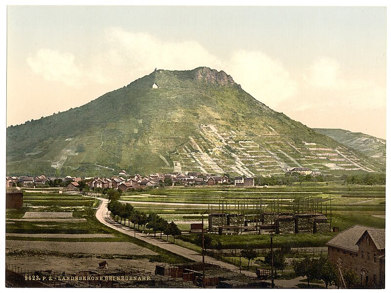
The Landskrone in the borough of Bad Neuenahr-Ahrweiler in the German state of Rhineland-Palatinate is a hill, 271.7 m above sea level, in… Lees meer…


Landskrone – Aan je reis toevoegen
Maak een gedetailleerde reisroute met slimme routing, tijdsinschattingen en alles wat je nodig hebt voor een perfecte reis.




The Landskrone in the borough of Bad Neuenahr-Ahrweiler in the German state of Rhineland-Palatinate is a hill, 271.7 m above sea level, in the Middle Rhine area. It used to be called the Gimmiger Berg and Gymmicher Kupp, but is now named after the ruins of the imperial castle of Landskron which are found on its heights. On the western hillside of the Landskrone is the Chapel of Our Lady of Perpetual Succour or St. Mary's Chapel.
Source: Wikipedia
Meer informatie en contact
Landskrone – Aan je reis toevoegen
Maak een gedetailleerde reisroute met slimme routing, tijdsinschattingen en alles wat je nodig hebt voor een perfecte reis.