



Cape Palliser
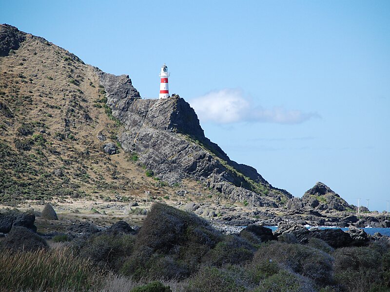
Cape Palliser is a promontory on the southern coast of New Zealand's North Island and is the southernmost point of the North Island; it is… Lees meer…
Cape Palliser – Reis plannen?
Stel je dagelijkse reisroute samen in de Tripomatic-app.


Cape Palliser is a promontory on the southern coast of New Zealand's North Island and is the southernmost point of the North Island; it is in fact considerably farther south than Nelson or Blenheim in the South Island.
It is located at the eastern end of Palliser Bay, 50 kilometres southeast of Wellington - 100 kilometres by road.
A small settlement - Ngawi - is situated near Cape Palliser, where the main income comes from crayfish fishing. Fishing boats are pushed into the sea on their trailers by bulldozers.Kupe's Sail is another feature of Cape Palliser - a triangular upthrust of sedimentary rock shaped
Source: Wikipedia
Meer informatie en contact


Cape Palliser – Voeg toe aan je reis
Maak een gedetailleerde reisroute met slimme routes, tijdsinschattingen en alles wat je nodig hebt voor een perfecte reis.

