



Māngere Inlet
Mangere Inlet is an arm of the Manukau Harbour, the southwestern of the two harbours of Auckland, New Zealand and itself an arm of the… Lees meer…
Māngere Inlet – Reis plannen?
Stel je dagelijkse reisroute samen in de Tripomatic-app.


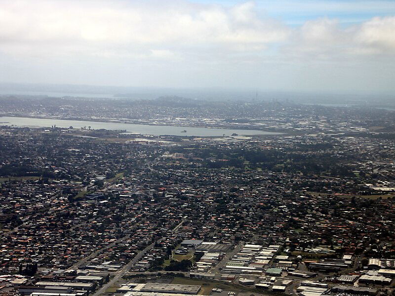
Mangere Inlet is an arm of the Manukau Harbour, the southwestern of the two harbours of Auckland, New Zealand and itself an arm of the Tasman Sea. The inlet lies between the Auckland isthmus and South Auckland, and has a size of 6.6 km2 and a catchment of 34.5 km2, being considered to extend to just west of Onehunga. It is an environment highly modified by land reclamation and human uses, with the northern shoreline especially affected. However, the inlet also acts as a natural sedimentation sink, thus being especially at risk of contamination.
Source: Wikipedia
Meer informatie en contact


Māngere Inlet – Voeg toe aan je reis
Maak een gedetailleerde reisroute met slimme routes, tijdsinschattingen en alles wat je nodig hebt voor een perfecte reis.

