
Clearbury Ring
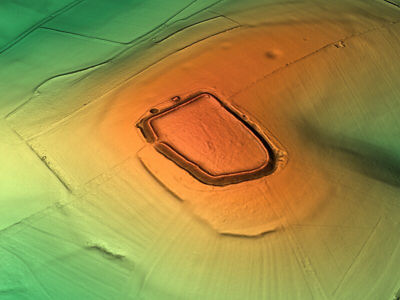
Clearbury Ring is a univallate Iron Age hillfort which is partly in the parish of Downton in the county of Wiltshire in south-west England,… Lees meer…


Clearbury Ring – Aan je reis toevoegen
Maak een gedetailleerde reisroute met slimme routing, tijdsinschattingen en alles wat je nodig hebt voor een perfecte reis.




Clearbury Ring is a univallate Iron Age hillfort which is partly in the parish of Downton in the county of Wiltshire in south-west England, approximately 5 kilometres due south of Salisbury city centre. The site, which is a scheduled monument, straddles the boundary with Odstock parish, and a slight scarp runs across the interior of the fort, marking the parish boundary.
The fort occupies a prominent hilltop overlooking the valley of the River Avon, at an altitude of 142 metres above mean sea level. The hillfort is immediately adjacent to the Clearbury Down Site of Special Scientific Interest, but is not included within it.
Source: Wikipedia
Meer informatie en contact
Clearbury Ring – Aan je reis toevoegen
Maak een gedetailleerde reisroute met slimme routing, tijdsinschattingen en alles wat je nodig hebt voor een perfecte reis.