
Kalopa State Recreation Area
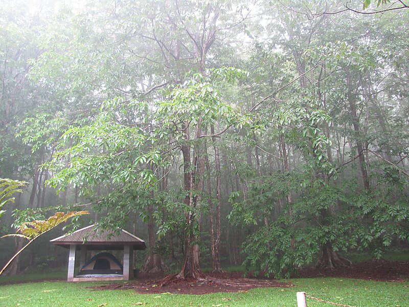
The Kalōpā Native Forest State Park and Recreation Area is a state park with an arboretum of native trees located approximately 40 mi… Lees meer…


Kalopa State Recreation Area – Aan je reis toevoegen
Maak een gedetailleerde reisroute met slimme routing, tijdsinschattingen en alles wat je nodig hebt voor een perfecte reis.




The Kalōpā Native Forest State Park and Recreation Area is a state park with an arboretum of native trees located approximately 40 mi northwest of Hilo, near the village of Honokaʻa, a few miles inland from the Mamalahoa Highway section of the Hawaii Belt Road, Island of Hawaiʻi, Hawaiʻi.
This 100-acre park adjoins an additional 500 acres in the Kalopa Forest Reserve. The park is at an elevation of 2,000 ft and includes a 0.7 mi loop through a forest of native ʻōhiʻa lehua trees. A number of rare plants can be found in the arboretum area, including endangered loulu palms, as well as a number of rare native hibiscus. Due to the altitude, damp and chilly weather is the norm.
Source: Wikipedia
Meer informatie en contact
Kalopa State Recreation Area – Aan je reis toevoegen
Maak een gedetailleerde reisroute met slimme routing, tijdsinschattingen en alles wat je nodig hebt voor een perfecte reis.