



Geißstein
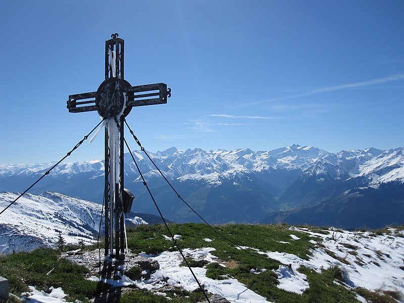
The Geißstein, sometimes also called the Gaisstein, is a mountain in the Kitzbühel Alps with a height of 2,366 m that straddles the border… Lees meer…


Geißstein – Voeg toe aan je reis
Maak een gedetailleerde reisroute met slimme routes, tijdsinschattingen en alles wat je nodig hebt voor een perfecte reis.




The Geißstein, sometimes also called the Gaisstein, is a mountain in the Kitzbühel Alps with a height of 2,366 m that straddles the border between the federal Austrian states of Tyrol and Salzburg
The Geißstein lies about seven kilometres southeast of Jochberg. To the east of it is the Vogelalmgraben, a right-hand side valley of the Glemmtal. To the southeast is the Mühltal, a left-hand valley of the Upper Pinzgau. This is the site of the 1,699 m high Bürgl Hut, one of the most important bases for climbing the mountain. A signposted trail runs from the hut along the southern arête to the summit. Alternatively the Geißstein can be approached from the 2,035 m high Sintersbach wind-gap to the southwest over the relatively gently sloping, grassy southwest side of the mountain. Another signed trail runs through the much steeper southeastern flank which is accessible from the Vogelalmgraben or from the 2,048 m high Schlaberstatt crossing to the north.
Source: Wikipedia
Meer informatie en contact
Geißstein – Voeg toe aan je reis
Maak een gedetailleerde reisroute met slimme routes, tijdsinschattingen en alles wat je nodig hebt voor een perfecte reis.