



Köppel
The Köppel, at 540.2 m above sea level, is the second highest point in the Montabaur Heights, an elongated hill ridge in the Lower… Lees meer…


Köppel – Voeg toe aan je reis
Maak een gedetailleerde reisroute met slimme routes, tijdsinschattingen en alles wat je nodig hebt voor een perfecte reis.




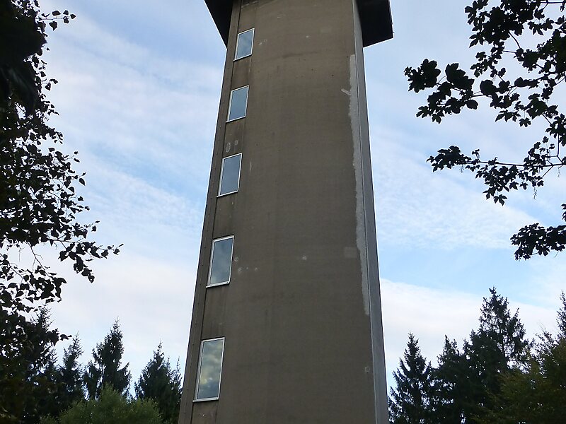
The Köppel, at 540.2 m above sea level, is the second highest point in the Montabaur Heights, an elongated hill ridge in the Lower Westerwald in Germany. It is second only to the nearby Alarmstange and lies on the boundary between Montabaur and Dernbach in the county of Westerwaldkreis in the state of Rhineland-Palatinate. At the summit is the Köppel viewing tower.
Source: Wikipedia
Meer informatie en contact
Köppel – Voeg toe aan je reis
Maak een gedetailleerde reisroute met slimme routes, tijdsinschattingen en alles wat je nodig hebt voor een perfecte reis.