



Mt. Yarigatake
Mount Yari is one of the 100 Famous Japanese Mountains. The 3,180-metre-high peak lies in the southern part of the Hida Mountains of Japan,… Lees meer…
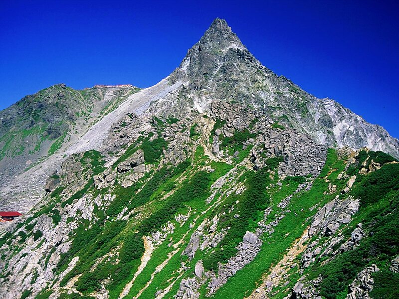
Alpsdake / Public domain


Mt. Yarigatake – Reis plannen?
Stel je dagelijkse reisroute samen in de Tripomatic-app.


Mount Yari is one of the 100 Famous Japanese Mountains. The 3,180-metre-high peak lies in the southern part of the Hida Mountains of Japan, on the border of Ōmachi and Matsumoto in Nagano Prefecture and Takayama in Gifu Prefecture. The priest Banryū founded a temple there. The headwater of Japan's longest river, the Shinano River, begins here as the Azusa River.
Source: Wikipedia
Meer informatie en contact
Wikipedia en.wikipedia.org/wiki/Mount_Yari
Adres Japan
Coördinaten 36°20'31.128" N, 137°38'51.464" E
peak

Riverside Hotel

Mt. Yarigatake
2h

Corner Café
45 min
Riverside Hotel
Mt. Yarigatake – Voeg toe aan je reis
Maak een gedetailleerde reisroute met slimme routes, tijdsinschattingen en alles wat je nodig hebt voor een perfecte reis.
3 mln.+ downloads · 4,6 sterren · 15 jaar reisplanning

