



Hohe Wurzel
Hohe Wurzel, at 618 m, is the highest peak in the Rheingau-Taunus-Kreis mountain range and the 2nd highest mountain near Wiesbaden, Hesse,… Lees meer…


Hohe Wurzel – Voeg toe aan je reis
Maak een gedetailleerde reisroute met slimme routes, tijdsinschattingen en alles wat je nodig hebt voor een perfecte reis.




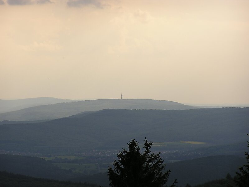
Hohe Wurzel, at 618 m, is the highest peak in the Rheingau-Taunus-Kreis mountain range and the 2nd highest mountain near Wiesbaden, Hesse, Germany. A 133 m reinforced concrete telecommunications tower is located on the peak, which supplies the Rhine Main area and other locations with digital television service as well as DAB and FM sound broadcasts.
In 1883, the Gustav Vietor Tower was built on the peak. It was last used for amateur radio purposes. The tower was demolished in March 2006.
Hohe Wurzel is located in the Rhine-Taunus Nature Park.
Source: Wikipedia
Meer informatie en contact
Hohe Wurzel – Voeg toe aan je reis
Maak een gedetailleerde reisroute met slimme routes, tijdsinschattingen en alles wat je nodig hebt voor een perfecte reis.