



Uritorco
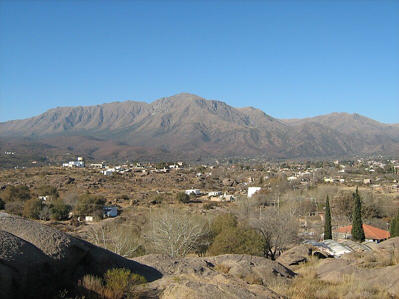
Cerro Uritorco is a mountain located next to the Calabalumba River, in the city of Capilla del Monte, in the northwest of the province of… Lees meer…


Uritorco – Reis plannen?
Stel je dagelijkse reisroute samen in de Tripomatic-app.


Cerro Uritorco is a mountain located next to the Calabalumba River, in the city of Capilla del Monte, in the northwest of the province of Córdoba, Argentina. It is the highest peak of the Sierras Chicas mountain range. It is 3 km away from the city center and its summit is at 1,949 m above mean sea level. The name Uritu urqu means "Male Hill" in Santiago del Estero Quichua, which is, however, not the aboriginal Comechingón language.
Cerro Uritorco is under a private administration and it can be accessed by the public for a fee. It is considered a medium-difficulty ascent, taking around three hours to reach the top, provided the appropriate hiking path is followed.
Source: Wikipedia
Meer informatie en contact


Uritorco – Voeg toe aan je reis
Maak een gedetailleerde reisroute met slimme routes, tijdsinschattingen en alles wat je nodig hebt voor een perfecte reis.

