



Vejle Fjord
Vejle Fjord is an East Jutland-type fjord in Denmark. It is approximately 22 km in length, and it stretches east from the town of Vejle at… Lees meer…


Vejle Fjord – Voeg toe aan je reis
Maak een gedetailleerde reisroute met slimme routes, tijdsinschattingen en alles wat je nodig hebt voor een perfecte reis.




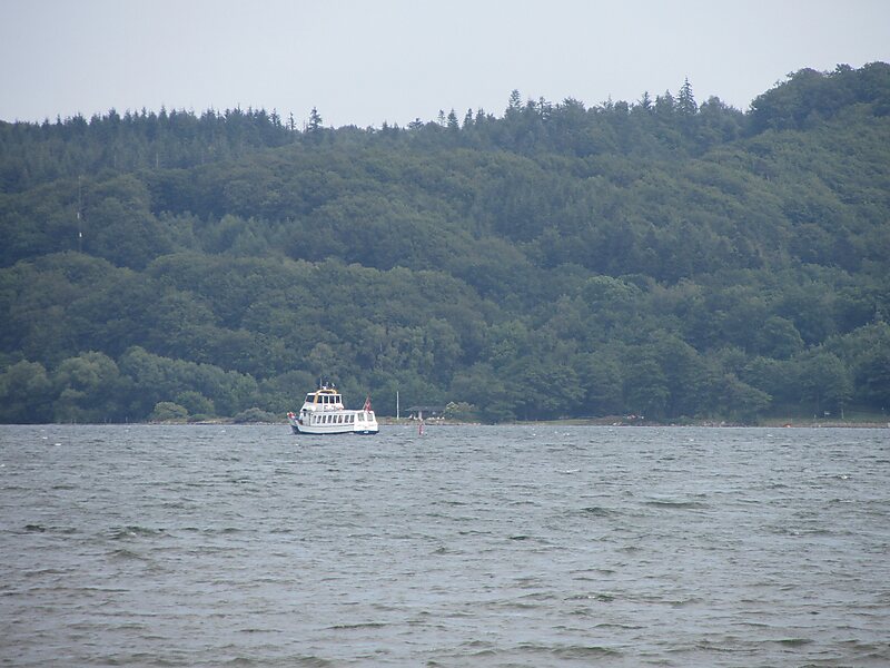
Vejle Fjord is an East Jutland-type fjord in Denmark. It is approximately 22 km in length, and it stretches east from the town of Vejle at its head to the towns of Trelde Næs on the south side and Juelsminde on the north side at the mouth. The fjord's generally calm surface waters are surrounded by low forested hills shaped by glaciers during the last ice age.Public works projects have re-shaped the small rivers and countryside surrounding the fjord since the Middle Ages.
Highway E45 crosses the fjord just east of the town of Vejle on the Vejle Fjord Bridge.
Source: Wikipedia
Meer informatie en contact
Vejle Fjord – Voeg toe aan je reis
Maak een gedetailleerde reisroute met slimme routes, tijdsinschattingen en alles wat je nodig hebt voor een perfecte reis.