



Mt. Banzaburo
Mount Amagi is a range of volcanic mountains in central Izu Peninsula in Shizuoka Prefecture, Japan, forming the border between Izu City… Lees meer…


Mt. Banzaburo – Reis plannen?
Stel je dagelijkse reisroute samen in de Tripomatic-app.


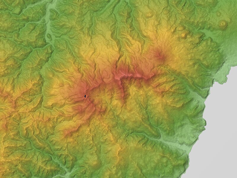
Mount Amagi is a range of volcanic mountains in central Izu Peninsula in Shizuoka Prefecture, Japan, forming the border between Izu City and Higashi-Izu Town. It is also referred to as the Amagi Mountain Range.
The Amagi mountains have several peaks, the tallest of which are Bansaburōdake at 1,406 metres, Banjirōdake at 1,300 metres, and Tōgasayama at 1,197 metres.There are several hiking routes to the top. Flora in the area include rhododendrons, Japanese andromeda, stewartia monadelpha and Siebold's beech.
Many ships of the Imperial Japanese Navy were named after it, including a corvette, a battlecruiser and an aircraft carrier.
Source: Wikipedia
Meer informatie en contact


Mt. Banzaburo – Voeg toe aan je reis
Maak een gedetailleerde reisroute met slimme routes, tijdsinschattingen en alles wat je nodig hebt voor een perfecte reis.

