



Dena
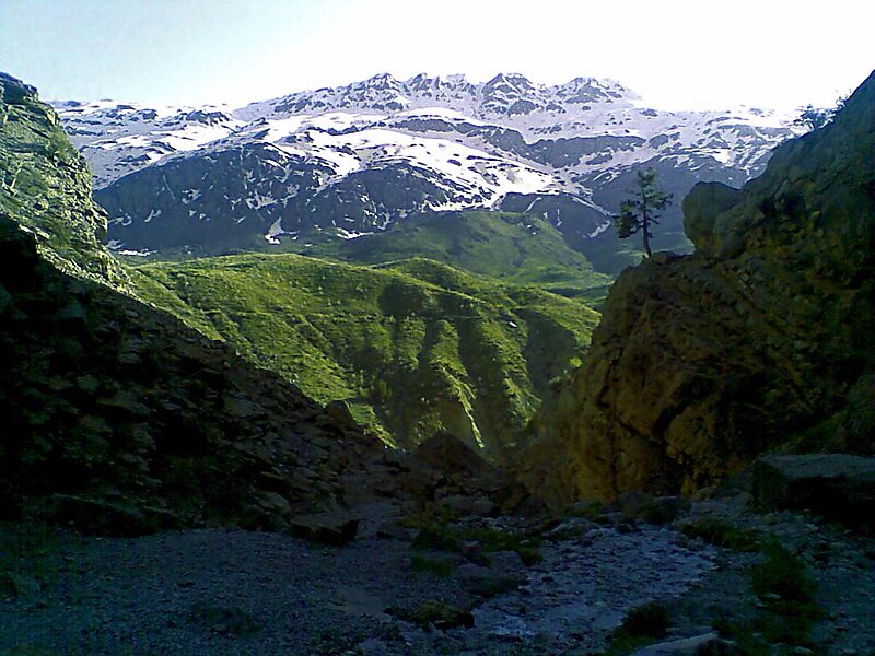
Dena is the name for a sub-range within the Zagros Mountains, Iran. Mount Dena, with 80 km length and 15 km average width, is situated on… Lees meer…


Dena – Reis plannen?
Stel je dagelijkse reisroute samen in de Tripomatic-app.


Dena is the name for a sub-range within the Zagros Mountains, Iran. Mount Dena, with 80 km length and 15 km average width, is situated on the boundary of the Isfahan, Kohgiluyeh and Boyer-Ahmad and Chaharmahal and Bakhtiari Provinces of Iran.
Mount Dena has more than 40 peaks higher than 4,000 metres. Annual precipitation in Mount Dena ranges from 600 to 1,800 mm.
Geologically, Mount Dena is located in the Sanandaj-Sirjan geologic and structural zone of Iran and is mainly made of Cretaceous limestone.
Source: Wikipedia
Meer informatie en contact


Dena – Voeg toe aan je reis
Maak een gedetailleerde reisroute met slimme routes, tijdsinschattingen en alles wat je nodig hebt voor een perfecte reis.

