
Graham Road Covered Bridge
Graham Road Bridge is a covered bridge which formerly spanned the west branch of the Ashtabula River in Pierpont Township, Ashtabula County… Lees meer…


Graham Road Covered Bridge – Aan je reis toevoegen
Maak een gedetailleerde reisroute met slimme routing, tijdsinschattingen en alles wat je nodig hebt voor een perfecte reis.




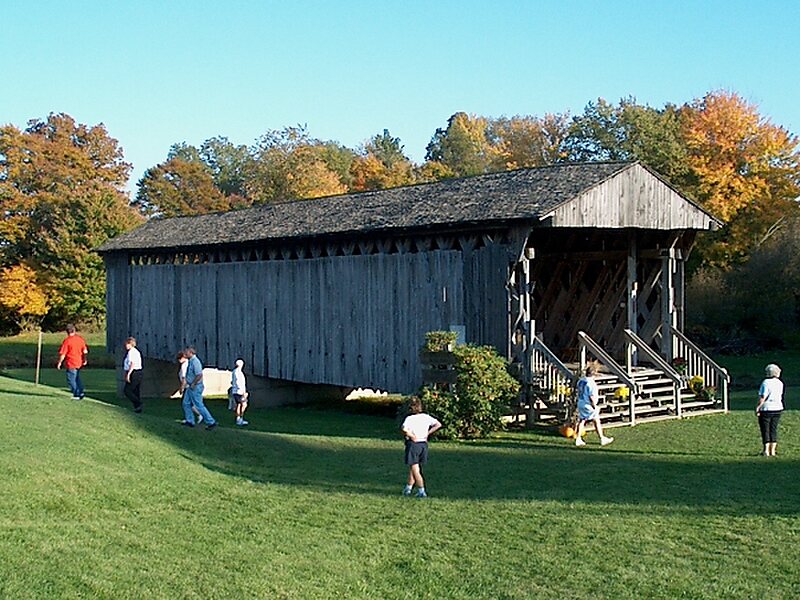
Graham Road Bridge is a covered bridge which formerly spanned the west branch of the Ashtabula River in Pierpont Township, Ashtabula County, Ohio, United States. Built from remnants of a former covered bridge that was damaged in a flood in 1913, the bridge now sits in an Ashtabula County MetroPark along the south side of Graham Road, near its original site, and is a single span Town truss design. Relocated in 1972, it is no longer open to vehicle traffic. The bridge’s WGCB number is 35-04-13, and it is located approximately 8.4 mi east-northeast of Jefferson.
Source: Wikipedia
Meer informatie en contact
Graham Road Covered Bridge – Aan je reis toevoegen
Maak een gedetailleerde reisroute met slimme routing, tijdsinschattingen en alles wat je nodig hebt voor een perfecte reis.