
Hachinger Bach
The Hachinger Bach is a river in Bavaria, Germany. It flows southwards of Munich, through the townships of Oberhaching, Taufkirchen,… Lees meer…


Hachinger Bach – Aan je reis toevoegen
Maak een gedetailleerde reisroute met slimme routing, tijdsinschattingen en alles wat je nodig hebt voor een perfecte reis.




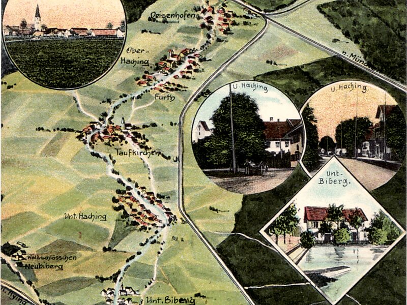
The Hachinger Bach is a river in Bavaria, Germany. It flows southwards of Munich, through the townships of Oberhaching, Taufkirchen, Unterhaching and Unterbiberg, and enters the Munich city area in Perlach. It is twelve kilometers long.
The source of the Hachinger Bach is in a former glacial valley between the districts of Deisenhofen and Oberhaching, where water from the Deininger wetland flows as groundwater through the Gleißental, which connects to the Hachinger Tal. About 100 metres into the Hachinger Tal, the ground becomes progressively wetter due to exudation of groundwater, until a small stream forms. Due to fluctuations in the water table, no location can be assigned as the source.
Source: Wikipedia
Meer informatie en contact
Hachinger Bach – Aan je reis toevoegen
Maak een gedetailleerde reisroute met slimme routing, tijdsinschattingen en alles wat je nodig hebt voor een perfecte reis.