Japan National Route 183
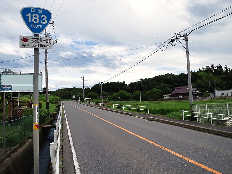
National Route 183 is a national highway of Japan connecting Naka-ku, Hiroshima and Yonago, Tottori in Japan, with a total length of 196.4… Read more…
one waybridge

Riverside Hotel

Japan National Route 183
2h

Corner Café
45 min
Riverside Hotel
Add Japan National Route 183 to Your Trip
Create a detailed travel itinerary with smart routing, time estimates, and everything you need for a perfect trip.
3M+ downloads · 4.6 stars · 15 years of trip planning


National Route 183 is a national highway of Japan connecting Naka-ku, Hiroshima and Yonago, Tottori in Japan, with a total length of 196.4 km
Source: Wikipedia
More Information and Contact
Address Japan
Coordinates 35°9'36.41" N, 133°18'14.019" E
Riverside Hotel
Japan National Route 183
2h
Corner Café
45 min
Riverside Hotel
Add Japan National Route 183 to Your Trip
Create a detailed travel itinerary with smart routing, time estimates, and everything you need for a perfect trip.
3M+ downloads · 4.6 stars · 15 years of trip planning