
Karikari Peninsula
The Karikari Peninsula on the east coast of the far north of Northland, New Zealand, is between Rangaunu Harbour to the west, and Doubtless… Lees meer…


Karikari Peninsula – Aan je reis toevoegen
Maak een gedetailleerde reisroute met slimme routing, tijdsinschattingen en alles wat je nodig hebt voor een perfecte reis.




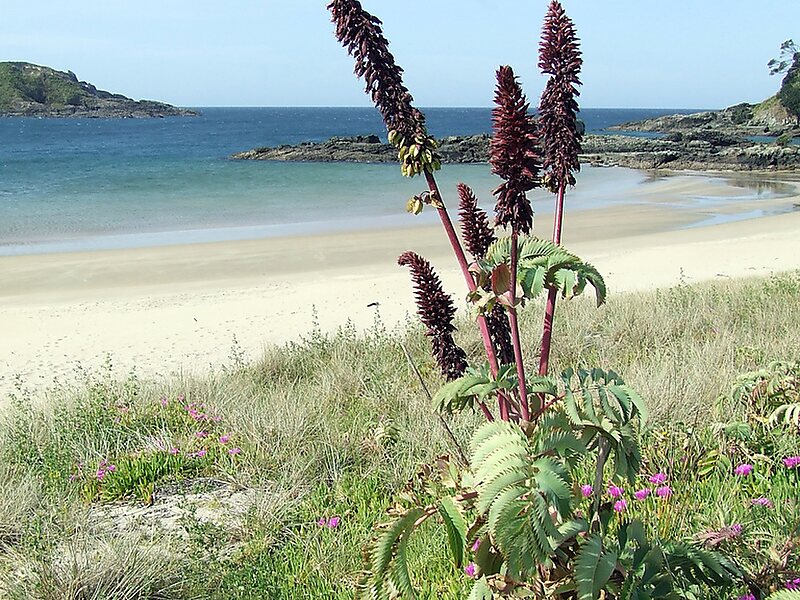
The Karikari Peninsula on the east coast of the far north of Northland, New Zealand, is between Rangaunu Harbour to the west, and Doubtless Bay to the southeast. It is a right-angled land mass of two relatively distinct parts. The rocky northern part, which has an east–west orientation and is approximately 17 km long, was originally an island but is now connected to the mainland by a low sandy tombolo approximately 11 km long, which has a north–south orientation. The spiritually significant Puwheke sits high above the north-facing beaches.
Source: Wikipedia
Meer informatie en contact
Karikari Peninsula – Aan je reis toevoegen
Maak een gedetailleerde reisroute met slimme routing, tijdsinschattingen en alles wat je nodig hebt voor een perfecte reis.