



Steese Highway
The Steese Highway is a highway in the Interior region of the U.S. state of Alaska that extends 161 miles from Fairbanks to Circle, a town… Lees meer…


Steese Highway – Voeg toe aan je reis
Maak een gedetailleerde reisroute met slimme routes, tijdsinschattingen en alles wat je nodig hebt voor een perfecte reis.




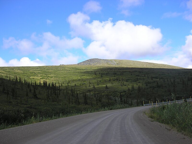
The Steese Highway is a highway in the Interior region of the U.S. state of Alaska that extends 161 miles from Fairbanks to Circle, a town on the Yukon River about 50 miles south of the Arctic Circle. The highway was completed in 1927 and is named for U.S. Army General James G. Steese, a former president of the Alaska Road Commission. It is paved for about the first 81 miles and around the town of Central it turns to dirt and gravel. Much of it is narrow and winding.
Source: Wikipedia
Meer informatie en contact
Steese Highway – Voeg toe aan je reis
Maak een gedetailleerde reisroute met slimme routes, tijdsinschattingen en alles wat je nodig hebt voor een perfecte reis.