Arusha National Park covers Mount Meru, a prominent volcano with an elevation of 4566 m, in the Arusha Region of north eastern Tanzania.
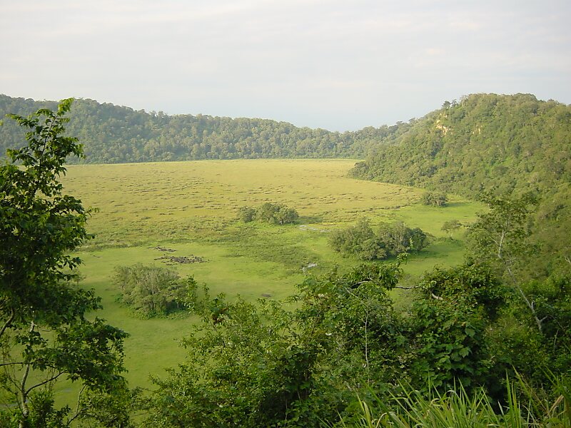
The park is small but varied with spectacular landscapes in three distinct areas. In the west, the Meru Crater funnels the Jekukumia River; the peak of Mount Meru lies on its rim. Ngurdoto Crater in the south-east is grassland. The shallow alkaline Momella Lakes in the north-east have varying algal colours and are known for their wading birds.
Mount Meru is the second highest peak in Tanzania after Mount Kilimanjaro, which is just 60 km away and forms a backdrop to views from the park to the east. Arusha National Park lies on a 300-kilometre axis of Africa's most famous national parks, running from Serengeti and Ngorongoro Crater in the west to Kilimanjaro National Park in the east.
Wikipedia https://en.wikipedia.org/wiki/Arusha_National_Park
Official Website http://www.tanzaniaparks.com/arusha.html
landingPages.LANDING_PAGE.DETAIL.ADDRESS Tanzania
landingPages.LANDING_PAGE.DETAIL.COORDINATES -3°14'39.156" N 36°47'42.878" E