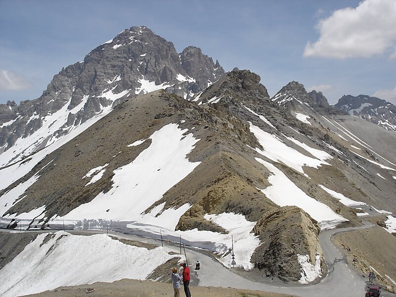
The Col du Galibier is a mountain pass in the southern region of the French Dauphiné Alps near Grenoble. It is the eighth highest paved road in the Alps, and recurrently the highest point of the Tour de France.
It connects Saint-Michel-de-Maurienne and Briançon via the col du Télégraphe and the Col du Lautaret. The pass is closed during the winter. It is located between the massif d'Arvan-Villards and the massif des Cerces, taking its name from the secondary chain of mountains known as the Galibier.
Before 1976, the tunnel was the only point of passage at the top, at an altitude of 2556 m. The tunnel was closed for restoration until 2002, and a new road was constructed over the summit.
Wikipedia https://en.wikipedia.org/wiki/Col_du_Galibier
landingPages.LANDING_PAGE.DETAIL.ADDRESS D902, 73450, France
landingPages.LANDING_PAGE.DETAIL.COORDINATES 45°3'50.994" N 6°24'28.36" E