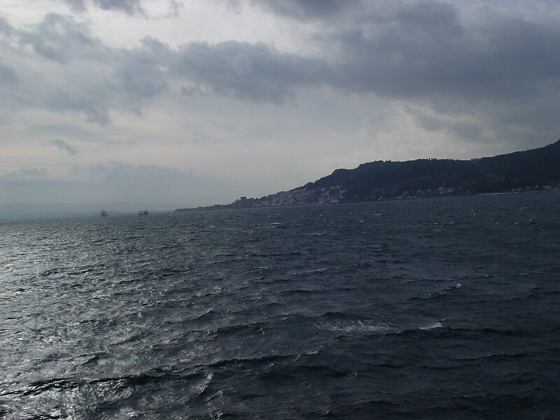
The Dardanelles, also known as the Strait of Gallipoli from the Gallipoli peninsula or from Classical Antiquity as the Hellespont, is a narrow, natural strait and internationally significant waterway in northwestern Turkey that forms part of the continental boundary between Asia and Europe and separates Asian Turkey from European Turkey. Together with the Bosphorus, the Dardanelles forms the Turkish Straits.
One of the world's narrowest straits used for international navigation, the Dardanelles connects the Sea of Marmara with the Aegean and Mediterranean seas while also allowing passage to the Black Sea by extension via the Bosphorus. The Dardanelles is 61 kilometres long and 1.2 to 6 kilometres wide, averaging 55 metres deep with a maximum depth of 103 metres at its narrowest point abreast the city of Çanakkale.
Wikipedia https://en.wikipedia.org/wiki/Dardanelles
landingPages.LANDING_PAGE.DETAIL.ADDRESS Turkey
landingPages.LANDING_PAGE.DETAIL.COORDINATES 40°11'43.231" N 26°26'59.546" E