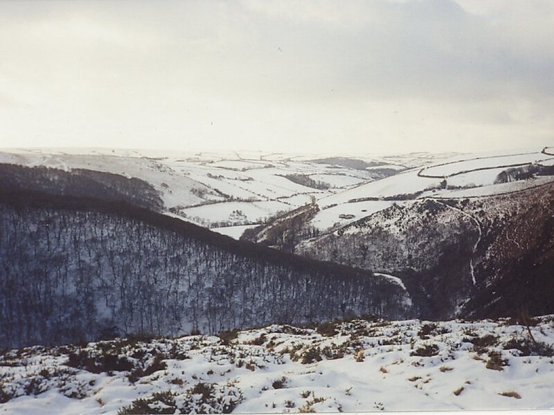
Exmoor is loosely defined as an area of hilly open moorland in west Somerset and north Devon in South West England. It is named after the River Exe, the source of which is situated in the centre of the area, two miles north-west of Simonsbath. Exmoor is more precisely defined as the area of the former ancient royal hunting forest, also called Exmoor, which was officially surveyed 1815–1818 as 18,810 acres in extent. The moor has given its name to a National Park, which includes the Brendon Hills, the East Lyn Valley, the Vale of Porlock and 55 km of the Bristol Channel coast. The total area of the Exmoor National Park is 692.8 km2, of which 71% is in Somerset and 29% in Devon.
The upland area is underlain by sedimentary rocks dating from the Devonian and early Carboniferous periods with Triassic and Jurassic age rocks on lower slopes. Where these reach the coast, cliffs are formed which are cut with ravines and waterfalls.
Wikipedia https://en.wikipedia.org/wiki/Exmoor
landingPages.LANDING_PAGE.DETAIL.ADDRESS TA24 7, United Kingdom
landingPages.LANDING_PAGE.DETAIL.COORDINATES 51°8'29.213" N -3°39'30.409" E