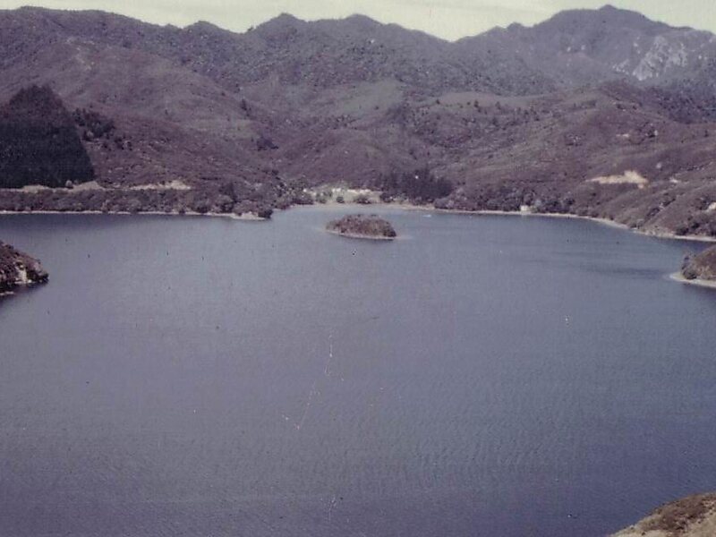
Great Barrier Island lies in the outer Hauraki Gulf, New Zealand, 100 kilometres north-east of central Auckland. With an area of 285 square kilometres it is the sixth-largest island of New Zealand and fourth-largest in the main chain. Its highest point, Mount Hobson, is 627 metres above sea level. The local authority is the Auckland Council.
The island was initially exploited for its minerals and kauri trees and saw only limited agriculture. In 2013, it was inhabited by 939 people, mostly living from farming and tourism and all living off-the-grid. The majority of the island is administered as a nature reserve by the Department of Conservation. The island atmosphere is sometimes described as being "life in New Zealand many decades back".
Wikipedia https://en.wikipedia.org/wiki/Great_Barrier_Island
landingPages.LANDING_PAGE.DETAIL.ADDRESS 361 Blind Bay Road, 0991, New Zealand
landingPages.LANDING_PAGE.DETAIL.COORDINATES -36°15'28.331" N 175°25'40.04" E