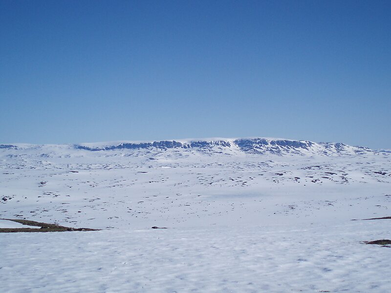
Hallingskarvet National Park is a national park in central Norway that was established by the government on 22 December 2006. The park is located in the municipalities of Hol, Ulvik and Aurland. More precisely, the park comprises the Hallingskarv plateau and the high mountain areas to the west of it. It includes the Vargebreen glacier as well as the valleys of Såtedalen, Lengjedalen, Ynglesdalen, and parts of Raggsteindalen.
The national park covers 450 square kilometres of the Hallingskarvet mountain range and hosts large stocks of wild reindeer, an important factor in the establishment of the park. The highest point in the national park is Folarskardnuten which reaches an elevation of 1,933 metres above sea level.
Wikipedia https://en.wikipedia.org/wiki/Hallingskarvet_National_Park
landingPages.LANDING_PAGE.DETAIL.ADDRESS 3595, Norway
landingPages.LANDING_PAGE.DETAIL.COORDINATES 60°36'59.861" N 7°45'3.074" E