Hreðavatn

landingPages.LANDING_PAGE.DETAIL.LOCAL_NAMEHreðavatn
landingPages.LANDING_PAGE.DETAIL.LOCATIONWestern Region, Island

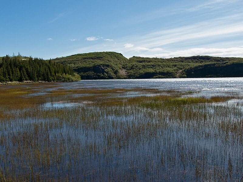
Hreðavatn is a lake in the west of Iceland. It is situated near Route 1 between Borgarnes and the pass of Holtavörtuheiði. Nearby is the university faculty of Bifröst and the Grábrók craters as well as the mountain Baula.

The surface of the lake is 1.14 km², it lies 56 m above sea level, its length is about 5 km and its greatest depth 20 m. It is embedded in a scenic landscape of heath and small forest plantations.

landingPages.LANDING_PAGE.BUTTONS.DOWNLOAD landingPages.LANDING_PAGE.BUTTONS.DOWNLOAD landingPages.LANDING_PAGE.BUTTONS.SEE_MORE
 

landingPages.LANDING_PAGE.DETAIL.MORE_INFORMATION_AND_CONTACT

Wikipedia https://en.wikipedia.org/wiki/Hreðavatn

landingPages.LANDING_PAGE.DETAIL.ADDRESS Iceland

landingPages.LANDING_PAGE.DETAIL.COORDINATES 64°45'27.037" N -21°35'12.373" E

landingPages.LANDING_PAGE.MOBILE_PANEL.HEADER

landingPages.LANDING_PAGE.MOBILE_PANEL.SUB_HEADER
landingPages.LANDING_PAGE.MOBILE_PANEL.FOOTER
landingPages.MOBILE.BANNER.TITLE landingPages.MOBILE.BANNER.DESCRIPTION
landingPages.MOBILE.BANNER.USE landingPages.MOBILE.BANNER.NOT_NOW