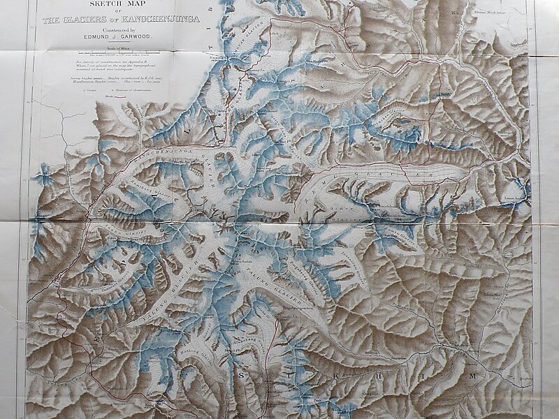
Kangchenjunga, also spelled Kanchenjunga, Kanchanjanghā and Khangchendzonga, is the third-highest mountain in the world. Its summit lies at 8,586 m in a section of the Himalayas, the Kangchenjunga Himal, which is bounded in the west by the Tamur River, in the north by the Lhonak River and Jongsang La, and in the east by the Teesta River. It lies in the border region between Koshi Province of Nepal and Sikkim state of India, with the two peaks West and Kangbachen in Nepal's Taplejung District and the other three peaks Main, Central and South directly on the border.
Until 1852, Kangchenjunga was assumed to be the highest mountain in the world. However, precise calculations and meticulous measurements by the Great Trigonometrical Survey of India in 1849 showed that Mount Everest, known as Peak XV at the time, is actually higher. After allowing for further verification of all calculations, it was officially announced in 1856 that Kangchenjunga is the third-highest mountain of the world.
Wikipedia https://en.wikipedia.org/wiki/Kangchenjunga
landingPages.LANDING_PAGE.DETAIL.ADDRESS Nepal
landingPages.LANDING_PAGE.DETAIL.COORDINATES 27°42'3.994" N 88°8'54.027" E