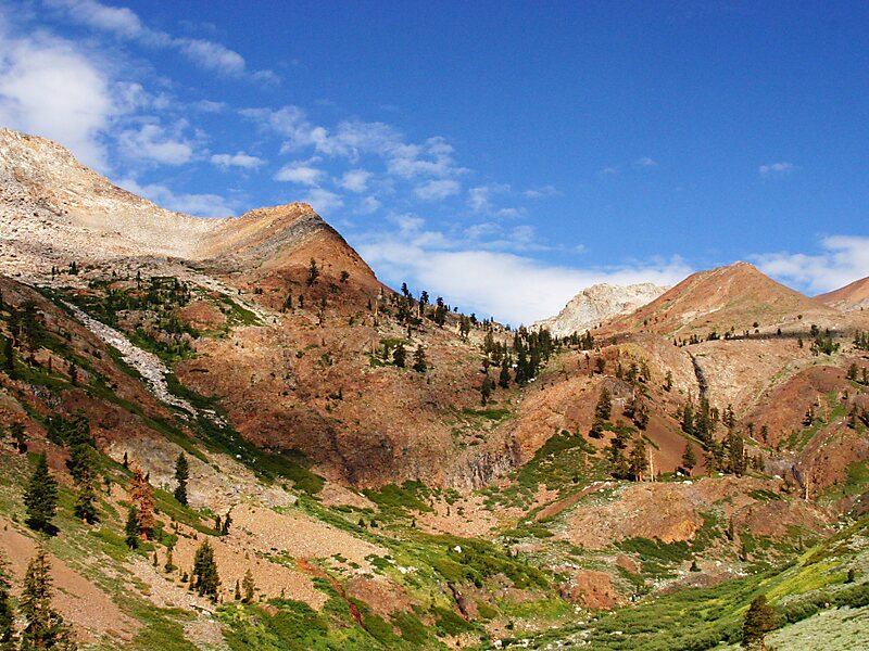
The Pacific Crest Trail, officially designated as the Pacific Crest National Scenic Trail, is a long-distance hiking and equestrian trail closely aligned with the highest portion of the Cascade and Sierra Nevada mountain ranges, which lie 100 to 150 miles east of the U.S. Pacific coast. The trail's southern terminus is next to the Mexico–United States border, just south of Campo, California, and its northern terminus is on the Canada–US border, upon which it continues unofficially to the Windy Joe Trail within Manning Park in British Columbia; it passes through the states of California, Oregon, and Washington.
The Pacific Crest Trail is 2,653 mi long and ranges in elevation from roughly 110 feet above sea level near the Bridge of the Gods on the Oregon–Washington border to 13,153 feet at Forester Pass in the Sierra Nevada. The route passes through 25 national forests and 7 national parks.
Wikipedia https://en.wikipedia.org/wiki/Pacific_Crest_Trail
landingPages.LANDING_PAGE.DETAIL.ADDRESS Pacific Crest National Scenic Trl, 96150, United States
landingPages.LANDING_PAGE.DETAIL.COORDINATES 38°50'30.89" N -120°3'17.032" E