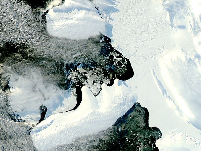
Wilkins Sound is a seaway in Antarctica that is largely occupied by the Wilkins Ice Shelf. It is located on the southwest side of the Antarctic Peninsula between the concave western coastline of Alexander Island and the shores of Charcot Island and Latady Island farther to the west.
Its northern portion was first seen and roughly mapped in 1910 by the French Antarctic Expedition under Jean-Baptiste Charcot and was observed from the air in 1929 by Sir Hubert Wilkins. The configuration of the sound was determined in 1940 on exploratory flights by the US Antarctic Service. It was named by the USAS for Sir Hubert Wilkins, who in 1929 first proved "Charcot Land" to be an island and thereby indirectly discovered this feature. The existence of Latady Island at the southwest side of the sound was determined in 1960 by D.J.H. Searle of Falkland Islands Dependencies Survey by examination of air photos taken by the 1947–48 Ronne Antarctic Research Expedition.
Wikipedia https://en.wikipedia.org/wiki/Wilkins_Sound
landingPages.LANDING_PAGE.DETAIL.COORDINATES -70°33'7.877" N -71°55'20.617" E
