



Hagensche Wiek
Hagensche Wiek is a cove in the east of the Rügischer Bodden that cuts deeply into the Mönchgut peninsula, the southeast tip of the German… Czytaj więcej…


Hagensche Wiek – dodaj do wycieczki
Stwórz szczegółowy plan podróży z inteligentnym wyznaczaniem tras, szacowanym czasem i wszystkim, czego potrzebujesz do udanej wycieczki.




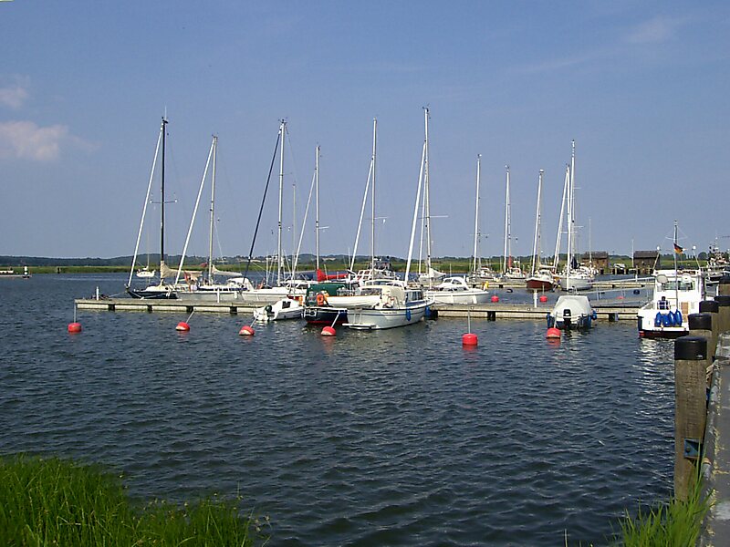
Hagensche Wiek is a cove in the east of the Rügischer Bodden that cuts deeply into the Mönchgut peninsula, the southeast tip of the German island of Rügen.
It is about 5 kilometres long, 2.5 kilometres wide and opens towards the southwest onto the Rügischer Bodden, the northern half of the Bay of Greifswald. In the north, the Hagensche Wiek is bounded by the narrow, elongated peninsula of Reddevitzer Höft, in the south by the actual Mönchgut with the Zicker Hills, up to 66 metres high. In the east the cove approaches within 1,000 metres of the Baltic Sea coast not far from the village of Lobbe in the municipality of Middelhagen.
The municipalities of Gager and Middelhagen with their hamlets of Alt Reddevitz and Mariendorf lie on the Hagensche Wiek.
Source: Wikipedia
Więcej informacji i kontakt
Hagensche Wiek – dodaj do wycieczki
Stwórz szczegółowy plan podróży z inteligentnym wyznaczaniem tras, szacowanym czasem i wszystkim, czego potrzebujesz do udanej wycieczki.