



Cofre de Perote
Cofre de Perote, also known by its Nahuatl names Naupa-Tecutépetl and Nauhcampatépetl, both meaning something like "Place of Four Mountains… Czytaj więcej…


Cofre de Perote – dodaj do wycieczki
Stwórz szczegółowy plan podróży z inteligentnym wyznaczaniem tras, szacowanym czasem i wszystkim, czego potrzebujesz do udanej wycieczki.




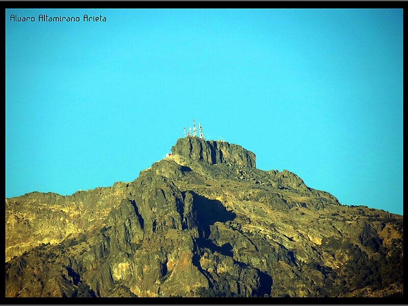
Cofre de Perote, also known by its Nahuatl names Naupa-Tecutépetl and Nauhcampatépetl, both meaning something like "Place of Four Mountains" or "Mountain of the Lord of Four Places", is an inactive volcano located in the Mexican state of Veracruz, at the point where the Trans-Mexican Volcanic Belt, home to all of Mexico's highest peaks, joins the Sierra Madre Oriental. With an elevation of 4,282 metres above sea level, Cofre de Perote is Mexico's eighth highest mountain summit.
Cofre de Perote is a shield volcano, shaped very differently from the stratovolcanic Pico de Orizaba, which lies about 50 km to the southeast. A cofre is a coffer, and the name alludes to a volcanic outcropping on the shield which constitutes the peak of the mountain. To the north is the town of Perote, Veracruz, after which the mountain is named.
Source: Wikipedia
Więcej informacji i kontakt
Cofre de Perote – dodaj do wycieczki
Stwórz szczegółowy plan podróży z inteligentnym wyznaczaniem tras, szacowanym czasem i wszystkim, czego potrzebujesz do udanej wycieczki.