



Salzburger Kopf
The Salzburger Kopf, at a height of 654.2 m above sea level, is the third highest summit of the Westerwald after the Fuchskaute and the… Czytaj więcej…


Salzburger Kopf – dodaj do wycieczki
Stwórz szczegółowy plan podróży z inteligentnym wyznaczaniem tras, szacowanym czasem i wszystkim, czego potrzebujesz do udanej wycieczki.




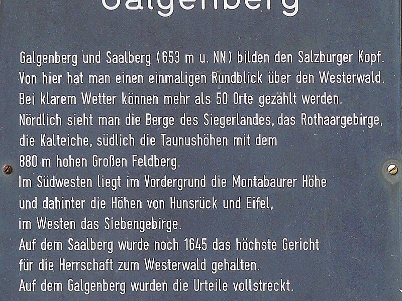
The Salzburger Kopf, at a height of 654.2 m above sea level, is the third highest summit of the Westerwald after the Fuchskaute and the Stegskopf.
The north side of the mountain ridge is almost treeless; in the south strips of woodland alternate with open areas.
The mountain is easily identified by the transmission tower which is in the shape of a red and white, cuboid, steel frame at its summit.
Source: Wikipedia
Więcej informacji i kontakt
Salzburger Kopf – dodaj do wycieczki
Stwórz szczegółowy plan podróży z inteligentnym wyznaczaniem tras, szacowanym czasem i wszystkim, czego potrzebujesz do udanej wycieczki.