
Erving State Forest
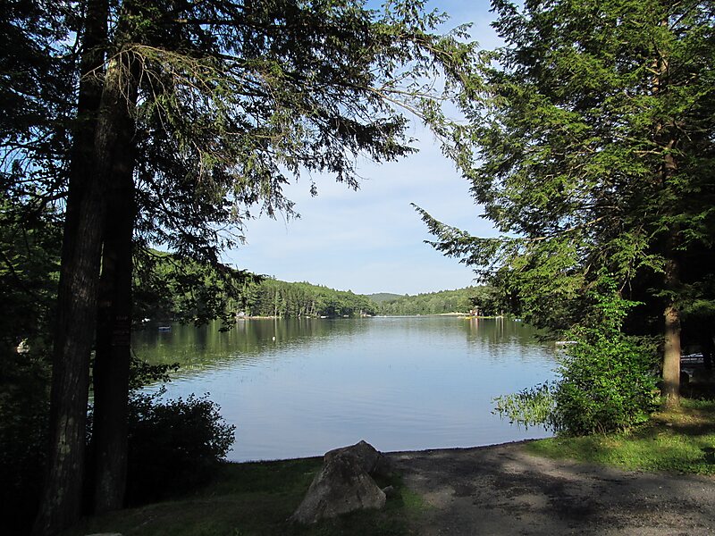
Erving State Forest is a publicly owned forest with recreational features located north of the Millers River in the towns of Erving,… Ler mais…


Erving State Forest – Adicionar À Tua Viagem
Cria um itinerário de viagem detalhado com rotas inteligentes, estimativas de tempo e tudo o que precisas para uma viagem perfeita.




Erving State Forest is a publicly owned forest with recreational features located north of the Millers River in the towns of Erving, Warwick, and Orange, Massachusetts. The property is centered on Laurel Lake, a 51-acre body of water that has been a popular recreational destination since the 1930s. The forest's network of roads and hiking trails were largely created by the Civilian Conservation Corps. The forest is managed by the Department of Conservation and Recreation.
Source: Wikipedia
Mais Informações e Contacto
Erving State Forest – Adicionar À Tua Viagem
Cria um itinerário de viagem detalhado com rotas inteligentes, estimativas de tempo e tudo o que precisas para uma viagem perfeita.