
Salem-Shotwell Covered Bridge
The Salem-Shotwell Covered Bridge, also known as the Pea Ridge Covered Bridge, is a locally owned wooden covered bridge that spans Rocky… Ler mais…


Salem-Shotwell Covered Bridge – Adicionar À Tua Viagem
Cria um itinerário de viagem detalhado com rotas inteligentes, estimativas de tempo e tudo o que precisas para uma viagem perfeita.




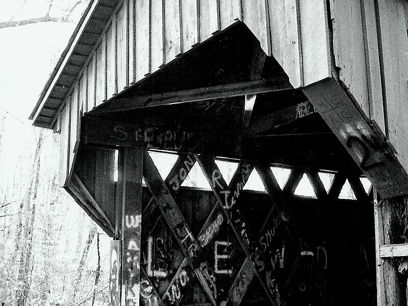
The Salem-Shotwell Covered Bridge, also known as the Pea Ridge Covered Bridge, is a locally owned wooden covered bridge that spans Rocky Brook in Lee County, Alabama, United States. It is located halfway down Park Road at Opelika Municipal Park, which is off North 5th Street in the city of Opelika. Coordinates are 32°39′33.46″N 85°22′52.94″W.
Originally built in 1900, the 43-foot bridge is a Town Lattice truss construction over a single span. Its WGCB number is 01-41-B, formerly 01-41-04. The bridge was listed on the Alabama Register of Landmarks and Heritage on January 25, 1977. It was destroyed by a fallen tree in 2005 at its original location near Salem, then rebuilt in 2007 at Opelika Municipal Park. The bridge is maintained by the Opelika Kiwanis Club and the City of Opelika.
Source: Wikipedia
Mais Informações e Contacto
Salem-Shotwell Covered Bridge – Adicionar À Tua Viagem
Cria um itinerário de viagem detalhado com rotas inteligentes, estimativas de tempo e tudo o que precisas para uma viagem perfeita.